Although I talked about this in a previous post, I didn’t really upload enough photos to give a sense of what hiking along the Uradome coast/San’in Geopark is like. So…not a lot of writing, but lots of photos for your information. (I’ll try to update it with better public transportation information when I can).
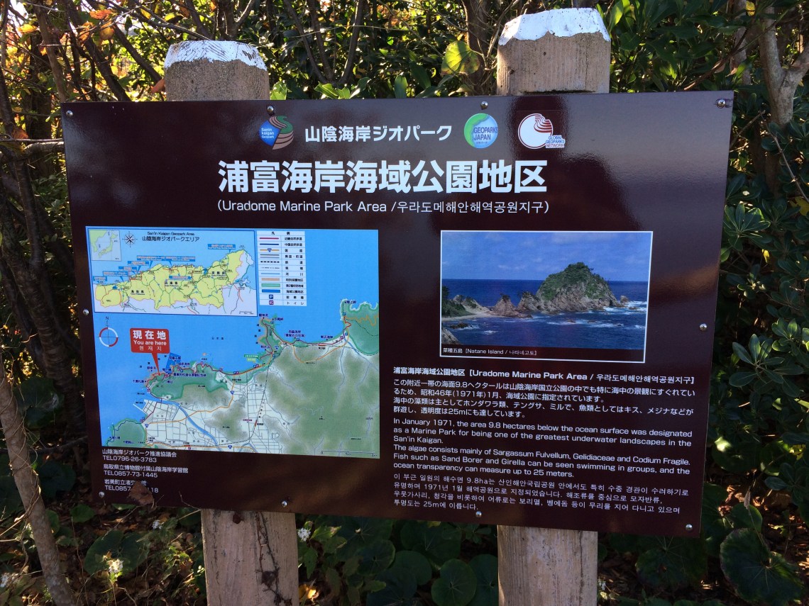
The map at the beginning of the trailhead: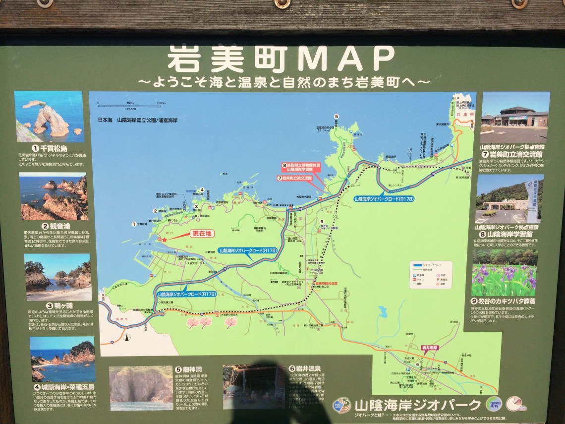
Getting started:
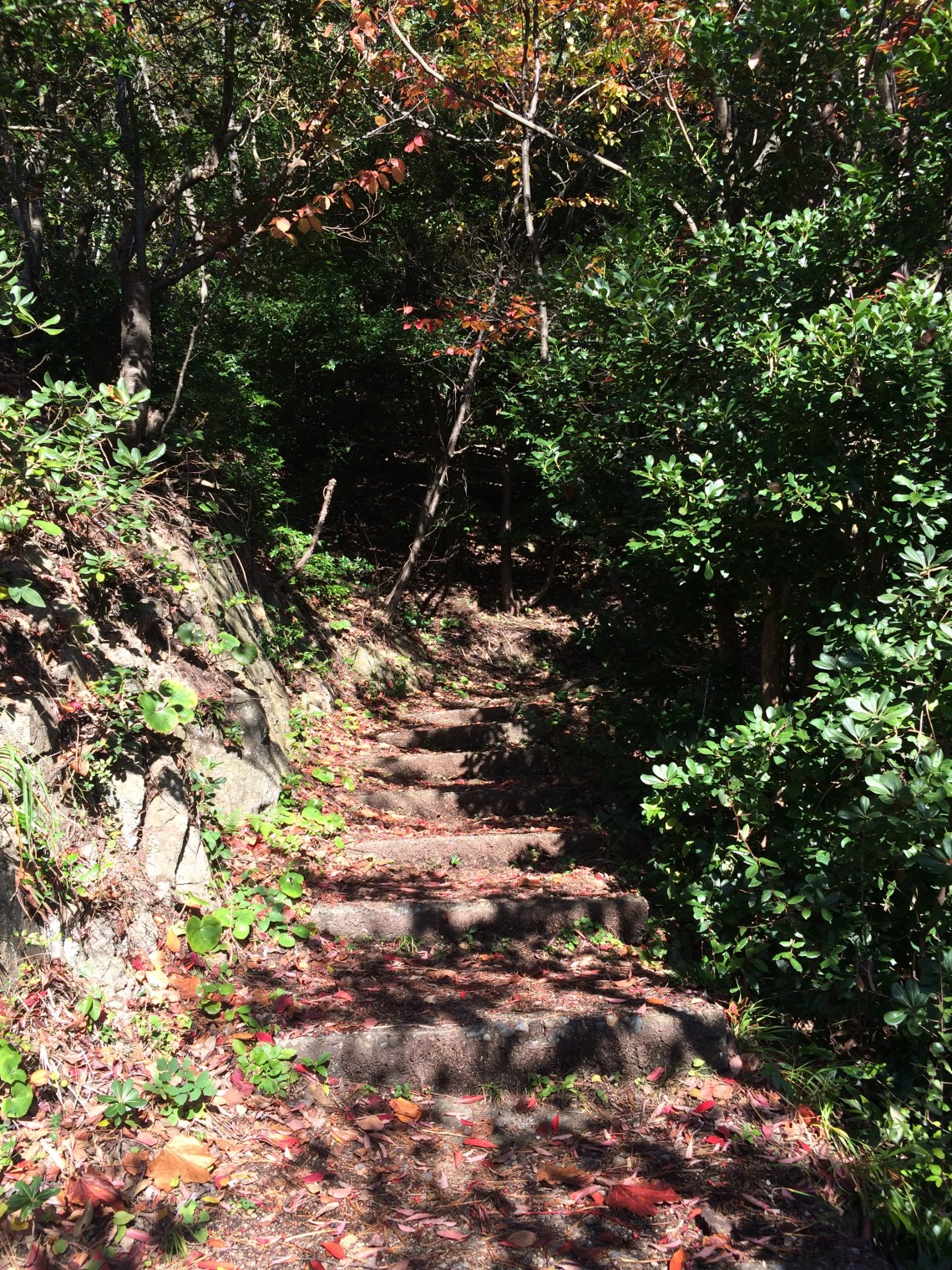
Stairs that start the trail
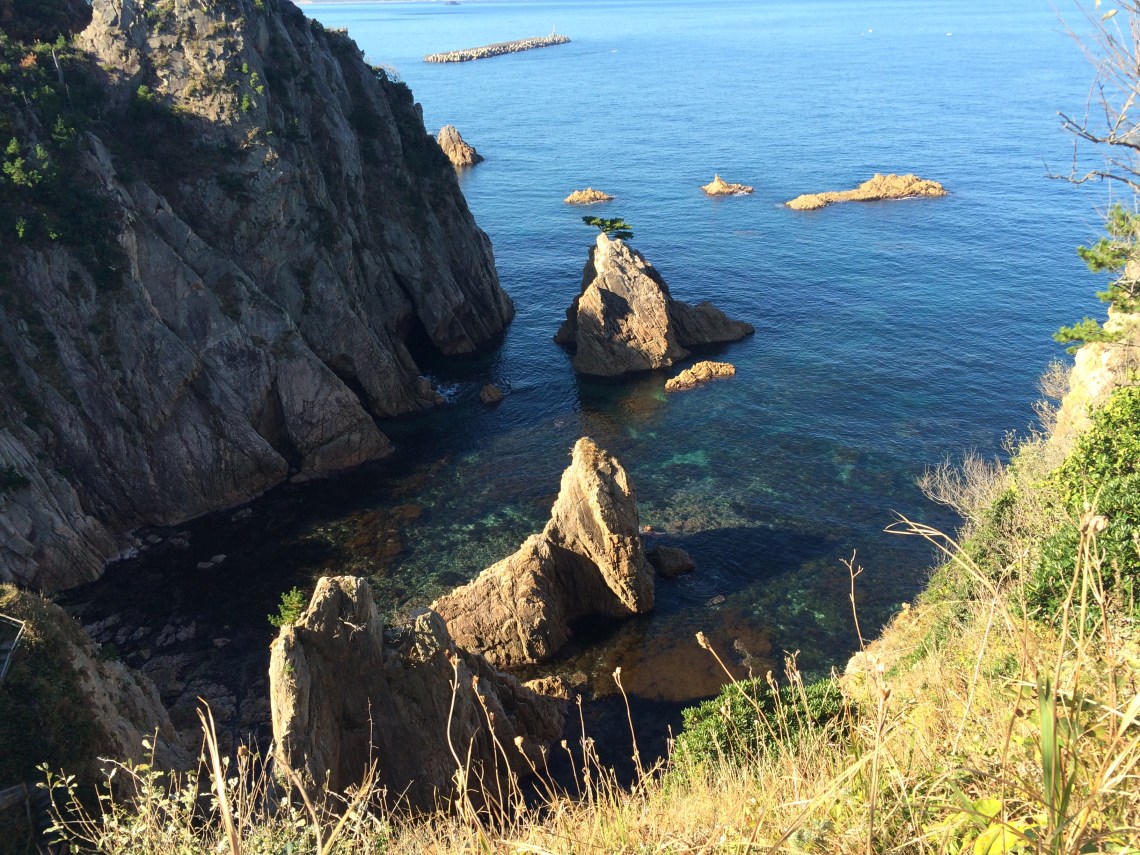
Near the start of the trail, the first big “view:”
Two guys were fishing here, and another guy painting
More views:

Lots of rugged coastline to see
Signposts:
Signposts like this are dotted along the way
The rugged coast and crystal clear water just gets better and better the farther you hike:


Going towards Iwami, I came across this shrine:


A lot of nice beaches around here too.
I was off the trail by this time, just following the road back to Iwami town, as I wanted to catch the train back to Tottori since I was going back home the same day. There are bus stops along the way but I couldn’t tell if they were for local shuttle buses or the regular Tottori regional bus – signage and/or bus times were not always available. That said, if you have a smartphone, using whatever map app will help you out immensely (as will the signposts on the trail) to figure out how far you’ve gone and whether it’s worth backtracking or going forward if and when you want to stop.
I’d say give yourself at least half a day to do the whole trail, longer if you want to explore the towns, go swimming, fishing, kayaking, etc. If using public transportation, check times for the bus and train to make sure you’re not going to wait for up to an hour for the next one if you’ve just missed it (this is real “countryside”).

Beautiful place. Sadly, I never visited the area.
LikeLike